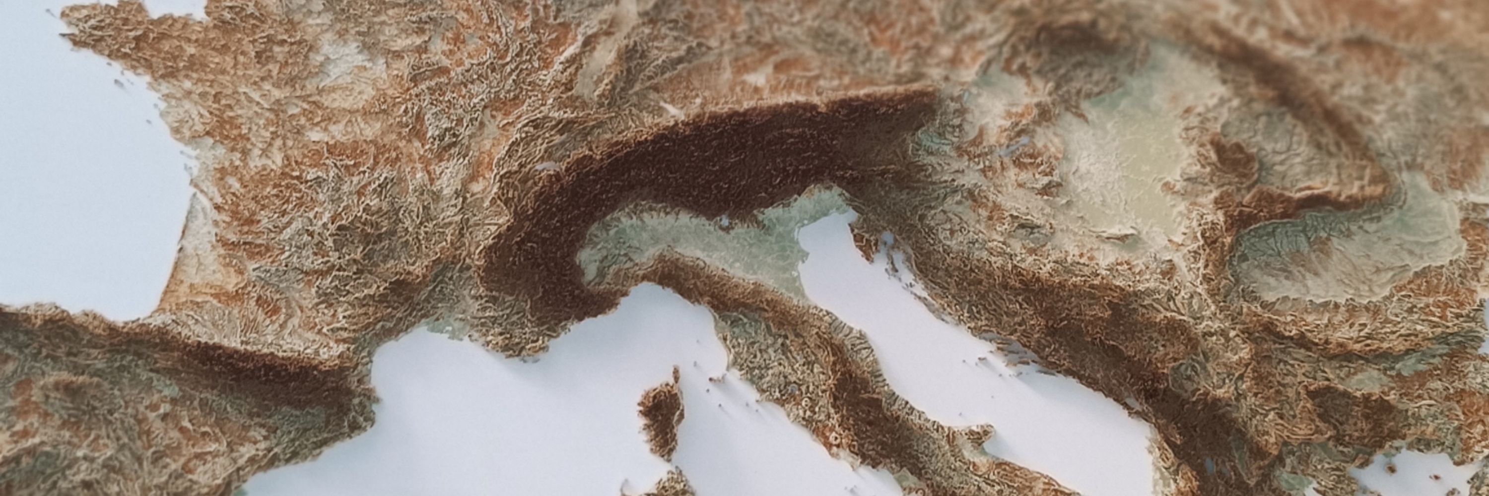
VizArt studio
Small dataviz and shaded relief maps studio based in Italy, but working with the whole world.
🚀 vizart.io
✉️ [email protected]
🕸️ Shop our maps at http://vizcart.io or http://vizcart.etsy.com
@chloethecartog.bsky.social
Fantasy cartographer and dinosaur loving geeky girl sketching and dancing her way through life.
@climate.noaa.gov
Toward a Climate-Smart Nation. The official NOAA account for Climate.gov hosted by the Climate Program Office. Follow for #climate news, #science, #data, resources, and more!
@kennethfield.bsky.social
Cartography is my passion & profession. Author of CARTOGRAPHY. & THEMATIC MAPPING. Maps+drums+beer+snowboards+footy+politics+sarcasm. 🇬🇧 in 🇺🇸 Views mine. links.esri.com/mappyhour
@conspiracyofcarto.bsky.social
Cartographer and Artist Speculative cartography World-building Transit mapping https://conspiracyofcartographers.com/
@denis-gilbert.ca
Physicist; ocean & climate scientist Dog servant 🐕 📍Rimouski, Québec, Canada 🇨🇦 Website: https://denis-gilbert.ca Google Scholar: https://scholar.google.ca/citations?user=6J1GChAAAAAJ&hl=en Mastodon: https://mastodon.social/@dgscientifik
@gisbandit.bsky.social
Product Manager at Esri | Interests #GIS, #HealthGIS, #Maps, #DataViz
@maps.sabre-roads.org.uk
The largest freely available online archive of twentieth century georeferenced OS maps of Great Britain and Ireland at "road map" scales from 1:25k to 1:633k including One Inch, Half Inch and Quarter Inch mapping. https://www.sabre-roads.org.uk/maps
@heigit.org
Open-source geoinformation, methods and software for the benefit of the environment and society. --- This is the official account of HeiGIT (Heidelberg Institute for Geoinformation Technology) at Heidelberg University. Check us out at https://heigit.org/
@moreorloess.bsky.social
UW Madison Geography, opinions are mine. Geomorphology, soils, dunes, loess, in the Midwest, Great Plains, northern China. He/him. Living on Ho-Chunk lands.
@sarahbell.bsky.social
Cartographer & Geo-visualization expert helping others turn landscapes and data into data-driven narratives. Rock climber 🧗
@abigail2154.bsky.social
@ignfrance.bsky.social
L’Institut national de l'information géographique et forestière produit des données et représentations du territoire national pour observer, comprendre et anticiper ses évolutions. 🗺️🌳 🔗 https://kytelink.com/ign #Opendata #Carte #Géographie #Forêt
@pinakographos.bsky.social
An arboreal, poly, gender non-participant mapmaker. • Portfolio & tutorials: somethingaboutmaps.com. • Prints: https://somethingaboutmaps.com/Storefront • You can support my art & teaching at http://patreon.com/pinakographos.
@juangaleano.bsky.social
Demography | Digital cartography | Dataviz | Data Post-doctoral researcher at Centre d'Estudis Demogràfics @CEDemografia Insta: @juan_galeano
@alisabokulich.bsky.social
Professor @ Boston U, History & Philosophy of Science—esp Philosophy of Geosciences, Director Phi-Geo Research Group, Assoc @ Harvard U. Hist Sci, Radcliffe Fellow Alum. Settler, wife, & mother. 📸s my crappy phone. Webpage: https://bokulich.org/
@geospatial.money
Like r/MapPorn found a Bloomberg terminal. https://www.geospatial.money
@cvidonne.bsky.social
Information Management Officer at UNHCR specialized in #DataViz and #maps. Love #rstats stuff, especially making charts with #ggplot2.
@jgaffuri.bsky.social
GIS and cartography @EU_eurostat (previously @ignfrance.bsky.social), geographical information, maps, orienteering, bike, nature, Europe, Luxembourg, Marseille, Haut-Doubs https://jgaffuri.github.io/
@duckham.org
Academic: Professor at RMIT University, GIScience, spatial algorithms, AI, and databases, ontologies http://gkl.rmit.melbourne Author: GIS 3e http://gisacp.duckham.org Me: gender equity, wheelchair user, food, new music
@xfischer.bsky.social
Principal .NET Software Engineer - @EDB @edbpostgres.bsky.social GeoJSON dot Net co-owner Running elevationapi.com - Opinions are my own
@kevinburkman.bsky.social
GIS & Cartography/Urban & Environmental Planning/Travel/Native Plant Restoration/History/Astronomy
@helenknott.bsky.social
Food, science, Grogu, Pallas cats, cake, wine, fizz Friday, beaches and wild swimming…
@greenleejw.bsky.social
Surprised historian, not surprised eels. Doctor of medieval history, talking’ about eels, history, maps, and the Spaniel. Alt-text artist. I draw custom maps on commission: https://surprisedeelmaps.com/ Support me here: patreon.com/SurprisedEel
@imagineterrain.bsky.social
Designer/design educator in Washington, D.C. Making maps/systems to help us imagine landscapes past + future. Lost streams,🚲🛶🌊 On the web — imaginaryterrain.com
@rsimmon.bsky.social
Data Visualization. Ex-Planet & NASA Earth Observatory. Blue Marble, Earth at Night, color, cartography, occasionally skewed views of Earth. Looking for a job.
@jwolondon.bsky.social
Professor of Visual Analytics who does datavis, visualization storytelling and natural travel. Did I mention visualization?
@tterence.bsky.social
smitten with #rstats · associate prof · political economy · the #rayverse's number one fan
@qgis.fosstodon.org.ap.brid.gy
Official account of QGIS - the user friendly Open Source Geographic Information System [bridged from https://fosstodon.org/@qgis on the fediverse by https://fed.brid.gy/ ]
@aquilaflower.bsky.social
Spatial Institute Director and Professor of Geography and Environmental Studies at Western Washington University. Author of the Salish Sea Atlas.
@bsky.app
official Bluesky account (check username👆) Bugs, feature requests, feedback: [email protected]