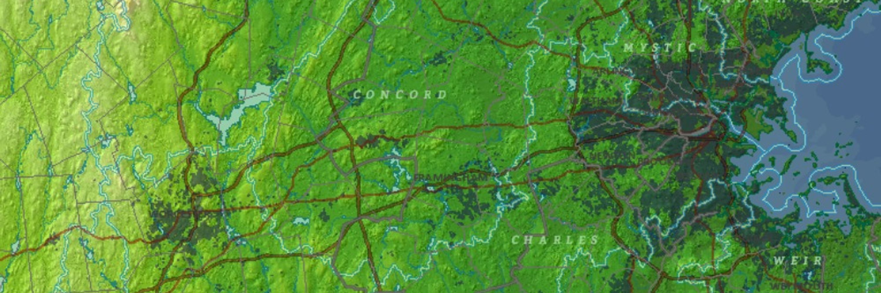
MassGIS
MassGIS is the Commonwealth’s Bureau of Geographic Information, within the Executive Office of Technology Services and Security,
@MassEOTSS
mass.gov/mgis
@marymuthee.bsky.social
GIS |Remote Sensing | Spatial Data Analytics | #GeospatialEnthusiast
@sgyucel.bsky.social
DPhil Researcher in Geography and the Environment @oxfordgeography.bsky.social @tsuoxford.bsky.social | human mobility, climate adaptation, inequality, geographic data science Personal website: https://shivyucel.github.io
@tonyveco.bsky.social
#remotesensing and maps for https://bsky.app/profile/adamplatform.bsky.social #Climate dataviz & training Trainee @Esa ESAC 2014/15 Former #Copernicus 🇪🇺 Support Office /EMS/DEFIS #Sentinerd S3B & S6A #Aeolus, #SolarOrbi
@mildthing99.bsky.social
Great to be here! 🌎🌍🌏 Thinking geographically 🌐 GIS, trivia and other important things... #GeographyTeacher and author; RGS C Geog, BBC Weather Watcher; landscape art and photography; #EruditePedagogy; #EduSky; Music, poetry esp with links to place
@simondriesen.bsky.social
Enjoys creating interactive data visualizations, with a particular passion for map-based projects. 🗺️ Living in Leuven, Belgium 🇧🇪
@nazka.be
We make maps that matter, adding value to society. Our interactive mapps, webtools and data-services give insight in location-based information. Check out nazka.be for more.
@pinkychow10107.bsky.social
Climate Impact Modelling @ Repath 🐝 Past research at DLR & consulting for World Bank 🌐 Earth Observation | GIS 🗺️ | Climate Risk 🔥 📍 Ulm, Germany
@jameslmilner.bsky.social
Staff Engineer @nearform.com, open source fan, hacking on geospatial in my spare time. Lives in London
@eor-wuerzburg.bsky.social
Remote sensing of our living environment from space-borne to UAS/UAV, from the tropics to the Arctic -- at uniwuerzburg.bsky.social, Germany -- https://www.remote-sensing.org http://www.earth-observation.org - managed by Dr Martin Wegmann
@aerialembroidery.bsky.social
I make aerial embroidery landscapes 🧵✈ Queer, autistic and happily so! All my current and previous work is on my site: https://victoriaroserichards.co.uk/
@transitmap.net
A celebration of transit maps and diagrams from around the world. Visit the blog at transitmap.net. 🔁 Reposts appreciated! Transit map prints sold at: transitmap.net/store Transit mappers starter pack: https://go.bsky.app/32jXV41
@lisahornung.bsky.social
Data Visualisation Manager at a health think tank 👩💻 Mostly talk about data, #dataviz, #opendata, #maps, #python and #data4good 📈 Into cycling, yoga, sourdough, puns and more. Views my own. Also active on Mastodon + Linkedin
@geoviews.bsky.social
Geographer + accidental cartographer. Posting about geography, maps & more. https://geoviews.net/
@mass.streetsblog.org
Connecting people to information about how to improve walking, biking, and transit across the Commonwealth
@agafonkin.com
🇺🇦 Engineer at Mapbox, creator of Leaflet, open source enthusiast, algorithms geek, speaker, musician (Obiymy Doschu), baker, father of twin girls, Ukrainian
@mgould.bsky.social
Bikes (MTB, gravel), Travel, Spain, Higher Education, Geospatial Technology, International Development, Mediterranean food/lifestyle. (Don't forget to use your sarcasm filter) --alguna que otra cosa bilingüe
@katefickas.bsky.social
Esri Director of Imagery and Remote Sensing. Pixel pusher. Community builder.
@littlemissesri.bsky.social
Esri Director - Environment, Conservation & Natural Resources Solutions Born at 347.15 ppm. Botany nerd. Tree hugger. Prairie lover. Biogeography Fangirl. Lover of bicycles, dogs, books and food. TN->NC צְבִי
@pokateo.bsky.social
👋🏻 I'm Kate ᵉᵃᵗᵉʳ ᵒᶠ ᵖᵒᵗᵃᵗᵒᵉˢ ᵃⁿᵈ ᵐᵃᵏᵉʳ ᵒᶠ ᵐᵃᵖˢ 🌐 I make #geospatial & #GIS (more) fun by sharing #mappymeme s & #maptastic themes. #GISchat. ᵛᶦᵉʷˢᵐᶦⁿᵉ http://linktr.ee/pokateo_maps
@deepseadawn.bsky.social
Seafloor mapper, Chief Scientist of smart mapping company Esri, Oregon State U. GIS/oceans professor, EC50, cyclist, 1st Black submersible diver to Challenger Deep, builds w/LEGO, raised in Hawaii. NAS, NAE, ORCID 0000-0002-2997-7611; She/her; views mine
@luisveci.bsky.social
SNAP and the Sentinel-1 Toolbox -- Open Data, Open Source, Open Science https://www.linkedin.com/in/luis-veci Staff Software Engineer @SkyWatchApps🛰 Every Pixel In One Place
@geospatial.money
Like r/MapPorn found a Bloomberg terminal. https://www.geospatial.money
@micheletobias.bsky.social
California Beach Biogeography & Geomorphology, Geospatial Data Science, Cartography, Open Source, Library Employee, and definitely some cats. OSGeo - FOSS4G - #gischat - #maptimeDavis
@gadom.ski
Geospatial open source @developmentseed.org https://github.com/gadomski https://www.gadom.ski/
@geobabbler.bsky.social
Runner. Coder. Database hacker. Accidental geographer. Perpetual novice. Chaotic neutral.
@wildintellect.com
Geospatial Data Engineer/Scientist Phd, Technologist, Photographer doing Open Source, Open Data, Open Science. @developmentseed.org
@kiricarini.com
Geospatial Communicator. Data + Stories for @developmentseed.org @osmus.bsky.social Board Member Hiking shenanigans. Desert dweller.
@howardbutler.com
Point clouds. Open source. PDAL, GDAL, Entwine, http://COPC.io, libspatialindex, and others. non-contributor corporate entity leading Hobu, Inc.
@giswqs.bsky.social
Associate Professor @UTKnoxville | Amazon Scholar | Creator of #geemap & #leafmap | Talk about #Geospatial #GeoPython #DataViz #GIS #FOSS #EarthEngine
@ianschuler.bsky.social
CEO @developmentseed.org Still a big fan of Freedom, but not in a shitty way
@cartonaut.bsky.social
@cartonaut elswhere Map-o-phile / GIS wrangler / M.S. GIS / GISP / mischief / 🗺️ / solvitur ambulando
@mapcenter.com
'Peddler of Wheres' at The Map Center in Pawtucket RI- it's like a vintage record store but for maps. www.mapcenter.com Cartographer, GIS specialist and educator Linktr.ee/ecoandrewtrc
@miketreglia.bsky.social
Working to advance conservation for people and biodiversity in cities through open source, open data, and partnerships. Herpetologist in my free time + dog & kid parent
@opendronemap.bsky.social
@chris-marx.bsky.social
Geo tech consultant for conservation/ecology. PostGIS, Mapbox, Typescript, React, NestJs, QGIS, DuckDb, AWS/GCP, D3, Angular. Sr Software Engineer @zevross
@foss4gna.bsky.social
@disruptivegeo.bsky.social
Geographer and geospatial technologist. Owner of Sand Hill Geographic and Board member of the American Geographical Society. KU PhD.
@implgeo.bsky.social
Open Source GIS developer and co-founder of Sourcepole 🇨🇭. #rust programmer, #paragliding, #railway tours.
@ticheler.net
Besides everything geospatial @GeoCat, I love traveling, carpentry, overlanding, analytical psychology, walk, work and live outside.
@6artvde.bsky.social
Geospatial web developer / solution architect. Biggest hobbies are Zimbabwean stone sculpture, hiking, running and PSV Eindhoven.