QGIS Australia
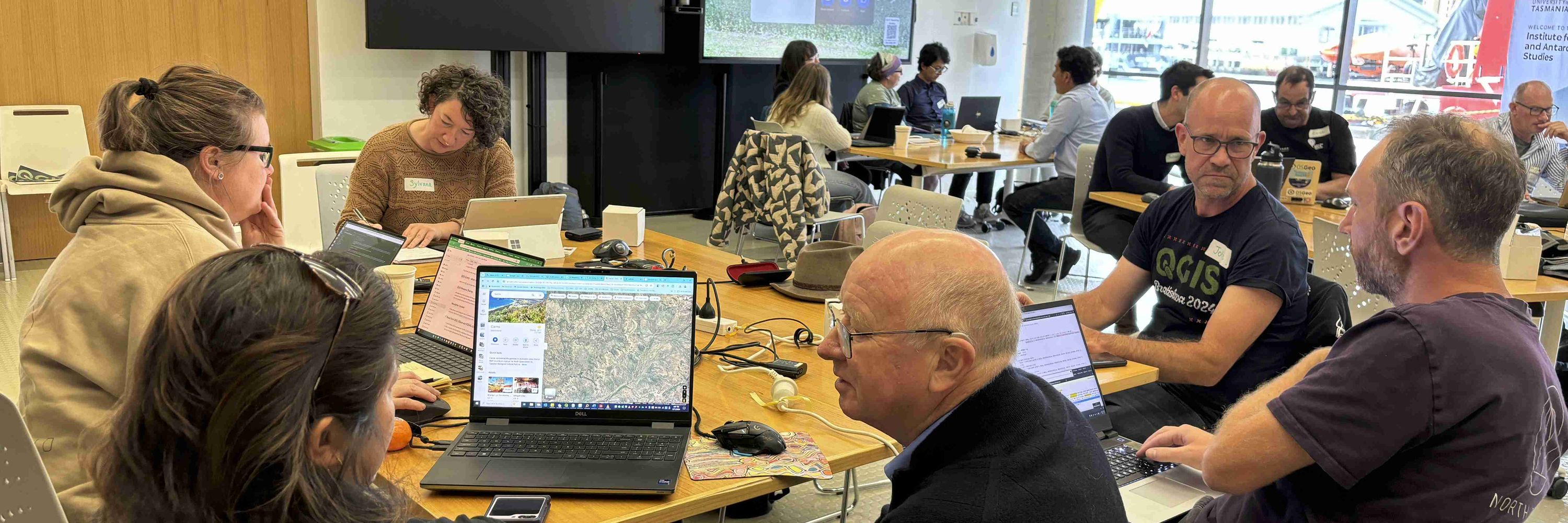
The QGIS AU group was established in 2017 with the main objective to support QGIS users throughout Australia.
We have an active online discussion group and our mission is to engage and grow our community.
@madmanwoo.bsky.social
@north-road.com
North Road offers services and training to create intelligent and beautiful maps. Cartography. Spatial Analysis. Software Development. Experts in QGIS.
@dinomirmt.bsky.social
Understanding and supporting people in their spatial interactions through computational #spatial #data #science #giscience #melbourne 🛶🚵♂️🥾🏊♂️🐕 @unimelb, own views. support 🇺🇦 www.tomko.org
@polemic.nz
Avondalian code-wrangler-wrangler • maps / data / product • 63D3 ADE1 5625 3865 • Engineering Manager • Opiskellen suomea • Ex @polemic on the bird app
@postgis.bsky.social
Spatial types and functions for PostgreSQL. Geometry, geography, you name it.
@dwsilk.bsky.social
Geospatial Product Owner at Toitū Te Whenua LINZ 🪣 s3://nz-imagery | s3://nz-elevation 🔗 https://basemaps.linz.govt.nz/ 🌍 https://osgeo-oceania.org/ | https://2025.foss4g.org/
@emm8.bsky.social
Devotee to #QGIS, #FOSS4G and beautiful Cartography. My imagination runs wild with ideas, that reality cannot cash. Love neo soul, funk, nu-disco, melancholic electronic and dance music. Be Kind. 🌏 https://osgeo-oceania.org | https://2025.foss4g.org/
@simonnitz.bsky.social
Co-Chair FOSS4G 2025 Geospatial Lead at Whanganui District Council New Zealand. https://geospatial.whanganui.govt.nz
@lutraconsulting.bsky.social
We are one of the QGIS developers. Learn more about our services: www.lutraconsulting.co.uk
@dragons8mycat.bsky.social
The original Geoninja. Curious about where this #GIS thing is going.... All thoughts and opinions are my own.
@mdsumner.bsky.social
maxing the pixels to glow meshes, R, Python, GDAL, virtual Zarr, coordinate systems, southern ocean research
@opendronemap.bsky.social
@qwast-gis.com
Associate Prof. #ihedelft | Physical Geographer | Owner of QWAST-GIS | #OpenSource advocacy | board member @qgis.nl | #gisocw | #OSGeo Charter Member | #QGIS
@geospatialwomen.bsky.social
A global network that inspires, unites and empowers women+ in the geospatial field to become strong changemakers.
@pwramsey.bsky.social
Loving open source software, practicing the piano, moving things around, working @crunchydata.com More at https://blog.cleverelephant.ca
@giswqs.bsky.social
Associate Professor @UTKnoxville | Amazon Scholar | Creator of #geemap & #leafmap | Talk about #Geospatial #GeoPython #DataViz #GIS #FOSS #EarthEngine
@foss4gna.bsky.social
@osgeo.fosstodon.org.ap.brid.gy
The Open Source Geospatial Foundation is a not-for-profit organization whose mission is to foster global adoption of open geospatial technology by being an […] [bridged from https://fosstodon.org/@osgeo on the fediverse by https://fed.brid.gy/ ]
@geotribu.bsky.social
French and main website: https://geotribu.fr English blog: https://blog.geotribu.net/ #OSGeo #FOSS4G #opensource #GIS #GeoRDP #QChat
@decolonialatlas.bsky.social
Maps for the people and planet. #LandBack linktr.ee/decolonialatlas
@southarrowmaps.co.nz
🗺🇳🇿🏔 NZ-based cartographer. Blender, QGIS, ArcGIS Pro, Illustrator. Partial to a good mountain. southarrowmaps.co.nz
@hannahdormido.bsky.social
News, politics, graphics and maps @thewashingtonpost.com. Please send tips to Signal hannahdormido_wapo.13 @[email protected] President, North American Cartographic Information Society
@nacis.bsky.social
Do you #lovemaps? The North American Cartographic Information Society has been the home for map enthusiasts since 1980. Use #nacis to be featured. Learn more at nacis.org
@underdarkGIS.fosstodon.org.ap.brid.gy
#SpatialDataScience | #MovementDataAnalysis | #OpenSource #Geospatial | @qgis PSC Member | Creator of @movingpandas & #Trajectools | Senior Scientist & […] [bridged from https://fosstodon.org/@underdarkGIS on the fediverse by https://fed.brid.gy/ ]
@howardbutler.com
Point clouds. Open source. PDAL, GDAL, Entwine, http://COPC.io, libspatialindex, and others. non-contributor corporate entity leading Hobu, Inc.
@johnwbryant.bsky.social
Open source geospatial enthusiast consulting and training with QGIS, PostGIS, and other tech. Principal consultant at https://mammothgeospatial.com Canadian 🇨🇦, Australian 🇦🇺. Based in Fremantle.
@dawnhendrick.bsky.social
Map maker, dog walker, house-sitter, fruit winemaker, beekeeper
@micheletobias.bsky.social
California Beach Biogeography & Geomorphology, Geospatial Data Science, Cartography, Open Source, Library Employee, and definitely some cats. OSGeo - FOSS4G - #gischat - #maptimeDavis
@geomenke.bsky.social
Danish Resident 🇩🇰 | @SeptimaDK | FOSS4G user/advocate/educator | OsGeo Charter Member | Author: Discover QGIS 3.x 2nd Ed. | Co-author: QGIS for Hydrological Applications 2nd Ed.| Co-author: Collecting Field Data with QGIS & Mergin Maps
@qgis.fosstodon.org.ap.brid.gy
Official account of QGIS - the user friendly Open Source Geographic Information System [bridged from https://fosstodon.org/@qgis on the fediverse by https://fed.brid.gy/ ]
@uk.osgeo.org
@osgeo-oceania.org
Mission: Foster the growth of a vibrant open geospatial community in Oceania (and beyond).