Simon Nitz
Co-Chair FOSS4G 2025
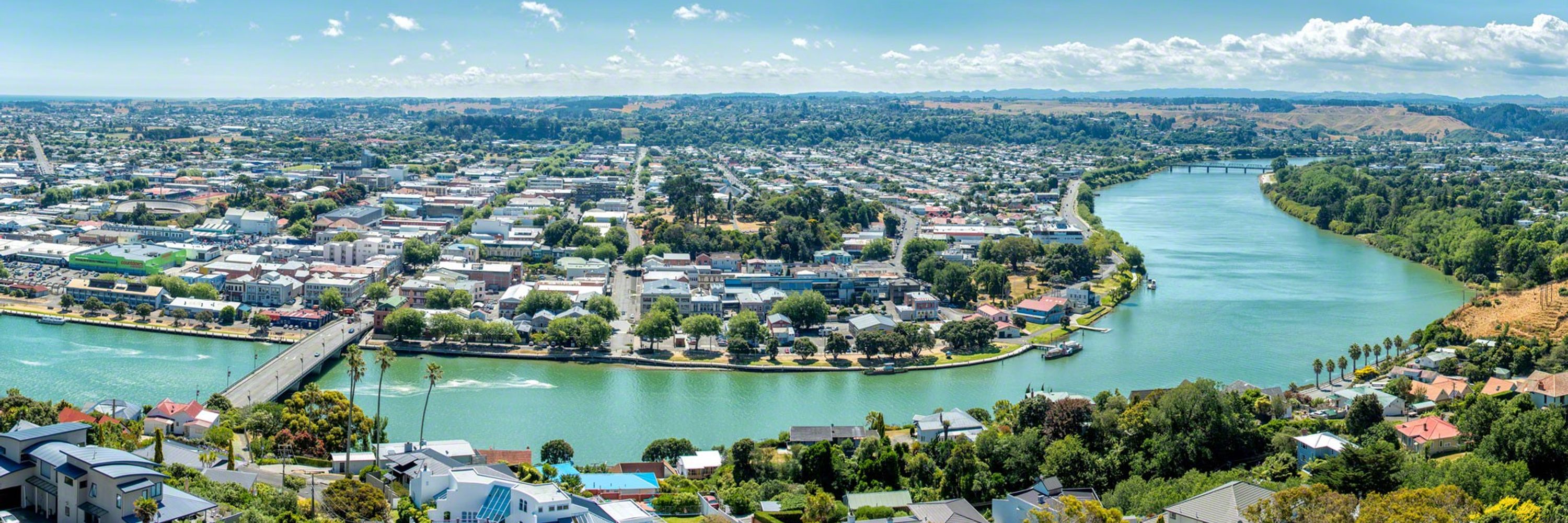
Geospatial Lead at Whanganui District Council New Zealand.
https://geospatial.whanganui.govt.nz
@techniq.dev
🛠️ Creator of LayerChart and Svelte UX 👨💻 Fullstack dev w/ Frontend & DataViz specialties 💾 Network/Systems engineer in a prior life
@utkarsh736.bsky.social
Data Scientist & AI/ML Developer | Passionate about sports and numbers
@erictheise.com
Performance cartographer, experimental filmmaker, software engineer; reader & writer, eater & drinker. A Synesthete's Atlas is my maps-as-expanded-cinema project, collaborating w/improvising musicians. https://linktr.ee/erictheise
@martinfleischmann.net
Researcher. Cities, urban morphology, human geography & spatial data science. Open source software developer. #python #cities #open_science https://martinfleischmann.net
@geocml.com
Founder of the geoCML project // Posts are my own // Portland, OR 🌲 GIS is for the people 🌎✌️ geocml.com
@maawoo.bsky.social
📖 PhD student @ University of Jena 🌍 Earth Observation, SAR, Savanna Ecosystems 🌐 Open Software, Data & Science
@abelvm.bsky.social
Geospatial problems solver. All my stuff is posted using farm-to-table WiFi, free-range 5G or locally-sourced Ethernet. Specialization is for insects. nimbi.es
@luisveci.bsky.social
SNAP and the Sentinel-1 Toolbox -- Open Data, Open Source, Open Science https://www.linkedin.com/in/luis-veci Staff Software Engineer @SkyWatchApps🛰 Every Pixel In One Place
@milos-makes-maps.bsky.social
I paint the world with #rstats and teach you how to unleash your inner #map artist. Join my map adventures and tutorials now: https://youtube.com/@milos-makes-maps
@urbandemog.bsky.social
Researcher Ipea Brazil | Visiting prof @geo_uoft | PhD @TSUOxford | Structured procrastination on Cities, Urban mobility, Accessibility, Equity, Data science, R. About: www.urbandemographics.org/
@rblourenco.bsky.social
Remote Sensing Scientist 🛰️🌍 Ph.D. Candidate at McMaster University 🇧🇷 Brazilian in Canada 🇨🇦 Communications Editor, @envdatascience.bsky.social More: https://about.me/ricardobarroslourenco
@alejo-coca.fosstodon.org.ap.brid.gy
Research Fellow, The Alan Turing Institute | PhD #geography | Building disruptive tech #machinelearning #earthsciences tools with social impact #openscience | […] [bridged from https://fosstodon.org/@alejo_coca on the fediverse by https://fed.brid.gy/ ]
@scotthosking.bsky.social
Mission Director for Environment Forecasting, The Alan Turing Institute | Science Leader for AI, @bas.ac.uk | He/Him scotthosking.com
@jamesgis.bsky.social
Geography/GIS educator FRCGS FRGS. Climate SLR. #Dal #SMU #QE2PlatMedal. Semple GeogEd Award. Apoplectic-adorable. Shot 67. Book addict (socialtechfuture) CBCIdeas. Sci-fi. Old movies. WHU COYI. Parkinsons sucks | michaeljfox.org | Mi’kma’ki (Nova Scotia)
@lbarqueira.bsky.social
Data Visualization & Creative Coding enthusiast. Ex-DellEMC, ex-Siemens. MSc, Electrical and Computer Engineering. 🐶Welsh Corgi ❤️🎼🌊📷 Blog: http://lbarqueira.github.io/
@osgeo.fosstodon.org.ap.brid.gy
The Open Source Geospatial Foundation is a not-for-profit organization whose mission is to foster global adoption of open geospatial technology by being an […] [bridged from https://fosstodon.org/@osgeo on the fediverse by https://fed.brid.gy/ ]
@hagolleo.bsky.social
Researcher @cesbio lab, where we watch 🌱 grow with 🛰️ Engineer @CNES, the French Space Agency On Mastodon : @[email protected] Optical #remotesensing, #Sentinel2, atmospheric correction and ☁️ masking. 🎹🚲 Views are my own
@morganahcrowley.bsky.social
Forest Fire Research Scientist with Canadian Forest Service 🔥🌲🌳 and the WildFireSat mission 🚀🛰 📡 | Advancing how we use satellites to monitor fires and their impacts | Woman in Remote Sensing | Mother in Science 💻👩💻👩🔬🧪 | she/hers | celiac | 📚🎵🎶👟☕️ | 🇨🇦🇺🇸
@lawrencespatial.bsky.social
Geospatial Developer | Tech stack - Vue JS, Openlayers, Geemap, Python | Talk about #geospatial #gis #dataviz #earthengine #geopython #gischat #FOSS
@johnwbryant.bsky.social
Open source geospatial enthusiast consulting and training with QGIS, PostGIS, and other tech. Principal consultant at https://mammothgeospatial.com Canadian 🇨🇦, Australian 🇦🇺. Based in Fremantle.
@nataliewick.bsky.social
Vector-borne disease ecologist PhD candidate at CSU | Duke MSc-GH alum Bats 🦇 & Mosquitoes 🦟
@jameslmilner.bsky.social
Staff Engineer @nearform.com, open source fan, hacking on geospatial in my spare time. Lives in London
@heatherreese.bsky.social
Assoc Prof in remote sensing and GIS, Univ of Gothenburg, Sweden. #drones, #UAV, #EarthObservation, #EO, #satellites, #vegetation change, #permafrost, #peatlands, #subarctic, #mountains, #geospatial
@biogeomorph.bsky.social
geoscientist | alpine biogeomorphology | paraglacial adjustment | primary succession | science communication more on: researchgate.net/profile/Stefan-Haselberger
@xruiztru.bsky.social
International Relations and History 📚 • Founder of The World in Maps • Here, I post maps and graphs about how the world works and how it once was 🌍📊
@postholer.com
GIS, Interactive & Printed Trail Maps, Data Books, Trip Planners, Snow, Wildfires, Gear Lists, Open Source, GDAL Evangelist. https://www.postholer.com, https://cloudnativemaps.com, https://femafhz.com
@micheletobias.bsky.social
California Beach Biogeography & Geomorphology, Geospatial Data Science, Cartography, Open Source, Library Employee, and definitely some cats. OSGeo - FOSS4G - #gischat - #maptimeDavis
@ausp.io
Father, Open Geospatial Technologist, Digital Earth Architect. Auspatious: https://ausp.io
@emm8.bsky.social
Devotee to #QGIS, #FOSS4G and beautiful Cartography. My imagination runs wild with ideas, that reality cannot cash. Love neo soul, funk, nu-disco, melancholic electronic and dance music. Be Kind. 🌏 https://osgeo-oceania.org | https://2025.foss4g.org/
@bsky.app
official Bluesky account (check username👆) Bugs, feature requests, feedback: [email protected]